Smart Parking Operations
GIS-connected 3D dashboards, parking information and verification workflows that make operational information easier to understand and act on.

GIS-connected 3D dashboards, parking information and verification workflows that make operational information easier to understand and act on.
VR, simulation and serious-game experiences for maintenance, firefighting, construction safety, compliance and technical learning.
A detailed city-scale 3D model created from authoritative spatial information to support urban visualization, planning and analysis. The work turns municipal data into a navigable spatial representation.
 Project
A 3D operational dashboard connected to a GIS database and designed to present parking information in its spatial context, including asset, status and location information.
 Project
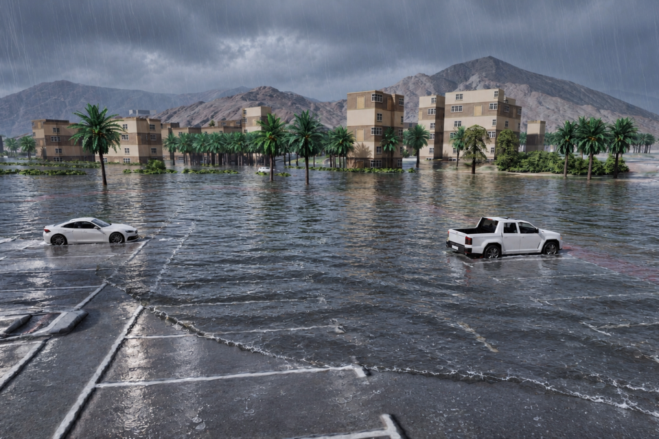
A simulation that consumes GIS terrain and spatial inputs to model water movement across a real environment for flood visualization and scenario understanding.