01
Data Acquisition
Survey, map, model and manage the physical world with authoritative geospatial information.

From national mapping programs to municipal 3D environments, we build the spatial foundation for informed decisions.
Survey, map, model and manage the physical world with authoritative geospatial data.
Survey, map, model and manage the physical world with authoritative geospatial information.
Selected projects, products and programs showing practical value.
An update of municipal 2D and 3D basemap information to reflect recent development and infrastructure changes for planning and smart-city initiatives.
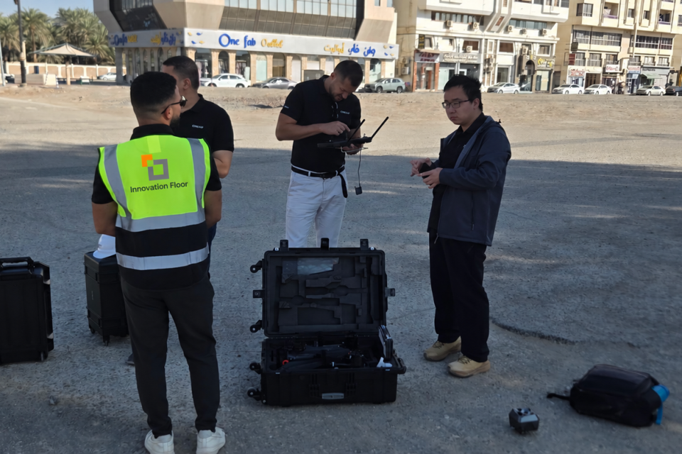
A comprehensive aerial survey over designated Dubai areas to collect high-resolution information for planning and infrastructure development, including delivery and stakeholder coordination.
A detailed city-scale 3D model created from authoritative spatial information to support urban visualization, planning and analysis. The work turns municipal data into a navigable spatial representation.
A citywide basemap update covering aerial photography, LiDAR survey, elevation models and vector mapping. The project delivered a current spatial foundation for municipal planning and GIS operations.
A three-year modernization program across 13,445 km² combining aerial and drone survey, LiDAR scanning, 3D modeling, basemap tools, infrastructure and AI-driven feature extraction.
An enterprise GIS implementation covering data assessment, geodatabase modeling and application development for organization-wide spatial information use.
A geospatial intelligence platform combining mapping, imagery and automated analysis for faster feature extraction, spatial review and insight generation.
A large-scale enhancement program covering 1,753 data layers, conversion of 20,481 CAD datasets, application upgrades, a 360-degree viewer and more than 30 ArcGIS Pro automation tools.
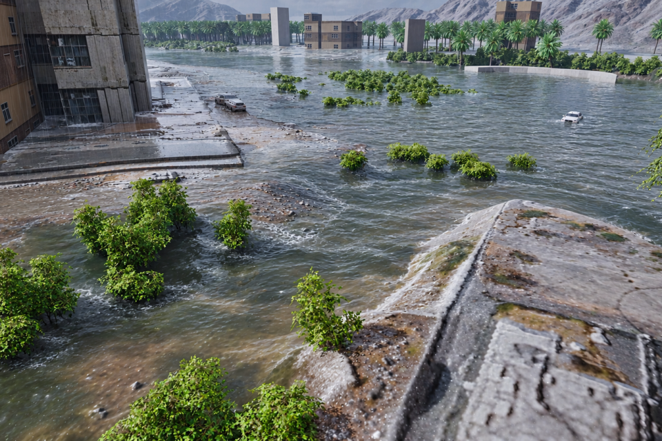
A simulation that consumes GIS terrain and spatial inputs to model water movement across a real environment for flood visualization and scenario understanding.
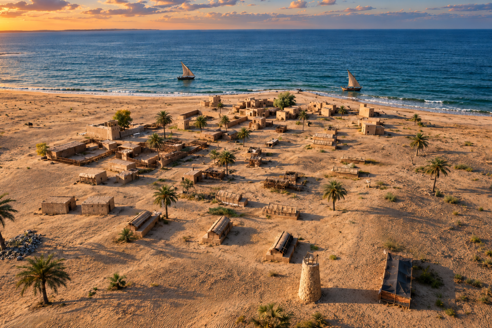
A historical reconstruction using GIS information and reference material to establish the streets, buildings, landmarks and urban character of old Abu Dhabi.
A conversational interface for maps and spatial information that lets users ask natural-language questions and receive map-grounded answers.
Development and publication of an electronic national atlas that organizes geographic, environmental and national information into an accessible digital experience.
Acquisition and processing of tri-stereo satellite imagery to produce national orthomosaic coverage, digital surface models and digital terrain models for the National Geospatial Framework Database.
A recognizable Sharjah city and road environment reconstructed from GIS information to provide the spatial foundation for the driving experience.
A 3D operational dashboard connected to a GIS database and designed to present parking information in its spatial context, including asset, status and location information.
A national program to update the UAE 2D basemap through controlled data production, quality review and coordinated delivery for federal geospatial information.
A secure GIS solution for processing and managing national boundary information, including an iOS operational experience for controlled spatial-data access in the field.