AI Career Guidance System
An intelligent guidance experience using user information, interests and goals to provide career recommendations and clearer next-step learning options.

An intelligent guidance experience using user information, interests and goals to provide career recommendations and clearer next-step learning options.
 Project
A secure platform for coordinated AI assistants and agents working with approved enterprise knowledge, controlled data access and human oversight.
End-to-end modernization combining survey, basemap updates, geodatabases, workflow tools, 3D models and GeoAI for current municipal information.
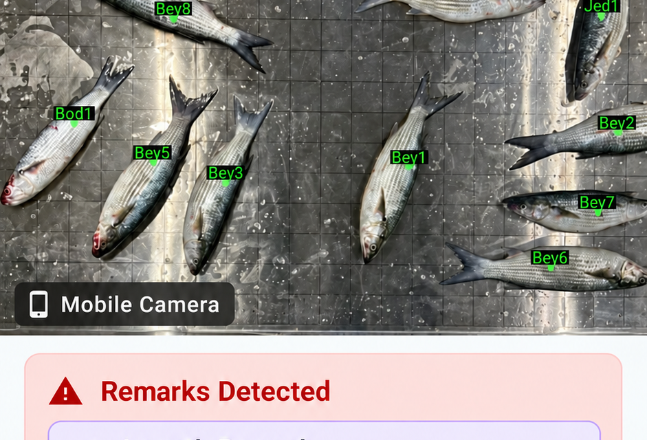
A web, iOS and Android solution supported by servers, an AI identification model and a connected camera table for consistent field capture.
GIS-connected 3D dashboards, parking information and verification workflows that make operational information easier to understand and act on.
A three-year modernization program across 13,445 km² combining aerial and drone survey, LiDAR scanning, 3D modeling, basemap tools, infrastructure and AI-driven feature extraction.
A geospatial intelligence platform combining mapping, imagery and automated analysis for faster feature extraction, spatial review and insight generation.
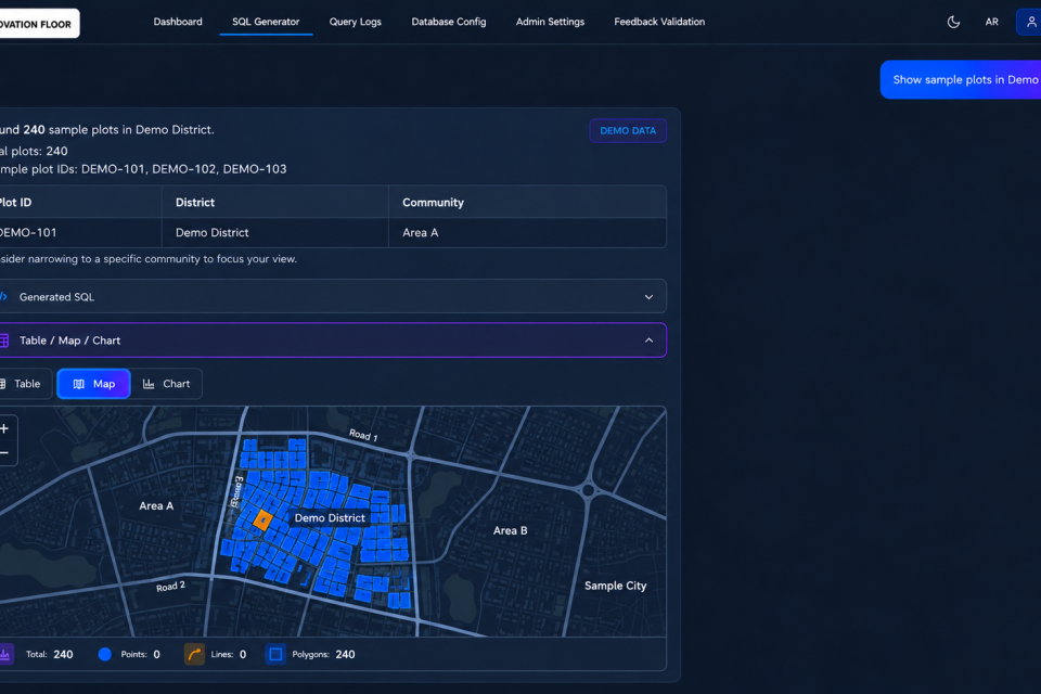
A conversational interface for maps and spatial information that lets users ask natural-language questions and receive map-grounded answers.
 Project
A complete connected inspection station combining a purpose-built table, camera, tablet, internet and Bluetooth for consistent fish-image capture and information transfer.
An intelligent assistant designed to make conversational information more accessible by combining language understanding with sign-language interaction.